 vesseltracker.com
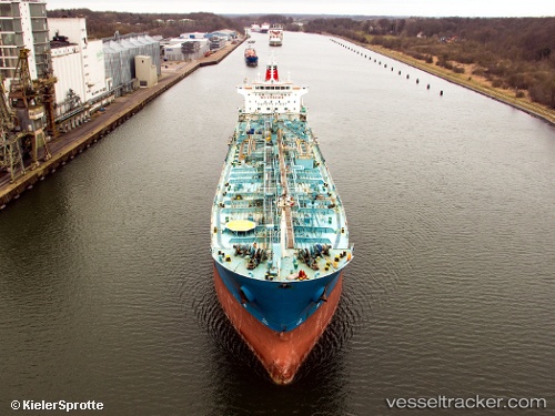
Find the position of the vessel ROSE I on the map. The latter are known coordinates and path.
marine traffic ship tracker show on live map
The current position of vessel ROSE I is 17.9244 lat / -26.019 lng. Updated: 2024-11-26 11:20:39 UTCCurrently sailing under the flag of Liberia
ROSE I built in 2007 year
Speed:
15 knotDeadweight:
37900 tPayload_mass:
37900 tonneGross tonnage:
23248Service entry:
2007-01-01T00:00:00ZManufacturer:
Hyundai Mipo Dockyard (South Korean shipbuilding company)Details:
Last coordinates of the vessel:
UTC, 18.3197, -25.8513, course: 204, speed: 13.1UTC, 18.226, -25.8948, course: 206, speed: 13.1
UTC, 17.9244, -26.019, course: 200, speed: 12.5
2024-11-26 11:20:39 UTC, 17.9244, -26.019, course: 200, speed: 12.5